Written by: Audrey H.
The Great Smoky Mountains are a tremendous place to bring your children and enjoy the outdoors. From waterfalls to mountain views, the Smokies have it all. There are hundreds of hikes in the area, but we put together the top 10 trails we thought were best suited to families with young children.
Top 10 Hiking Trails for Families with Young Children
Laurel Falls
#1 – Laurel Falls (Length: 2.6 miles round trip) To access the trailhead, take Little River Road for 3.5 miles to the trailhead. There are parking areas on both sides of the road. The trail is considered overland and is paved, but the pavement is rough and uneven. The trail can be slippery when wet, and there are portions of the trail that have steep drop offs. At a leisurely pace that includes photo ops along the way, the hike takes about 2 hours to get to the falls. The falls are 80 feet high and are separated by a walkway at the bottom of the upper falls. The rocks at the base of the falls are extremely slippery as they are always wet. Be sure to closely supervise children at all times. We would recommend always holding hands with young children when near the falls. While this area is absolutely beautiful, it can be extremely dangerous when the rocks are slick. This trail area is also known to have an active bear population. Keep your distance if you spot a bear. They are wild animals and will act accordingly. This trail is not suitable for strollers or wheelchairs. Pets and bicycles are prohibited on the trail.
Gatlinburg Trail
#2 – Gatlinburg Trail (Length: 3.8 miles round trip) The trailhead is located at 916 River Road, Gatlinburg, TN 37738. This trail is relatively flat and runs through the forest along a portion of the Little Pigeon River. The trail crosses the river via a foot bridge and features beautiful vistas of the river along the way. There are several foundations and chimneys of old homesteads visible along the trail as well. Dogs and bicycles are permitted on this trail.
Clingman’s Dome
#3 – Clingman’s Dome (Length: 1 mile round trip) To get to the Clingman’s Dome Observation Tower, take the main parkway out of Gatlinburg toward the Sugarlands Visitor Center. At the visitor center, continue straight for another 13 miles. About 1/10 of a mile after Newfound Gap, turn right onto Clingman’s Dome Road. Follow the road for 7 miles and end at the Clingman’s Dome parking area. At 6,643 feet, it is the highest point in the Great Smoky Mountains National Park. There is an observation tower at the summit that offers 360 degree views of the Smoky Mountains. Viewing distances range from 20 to 100 miles in all directions. Temperatures at the top can be 10 to 20 degrees cooler, so come prepared even in summer. The trail is paved but quite steep and is therefore not wheelchair accessible. Pets and bicycles are prohibited on the paved trail to the observation tower.

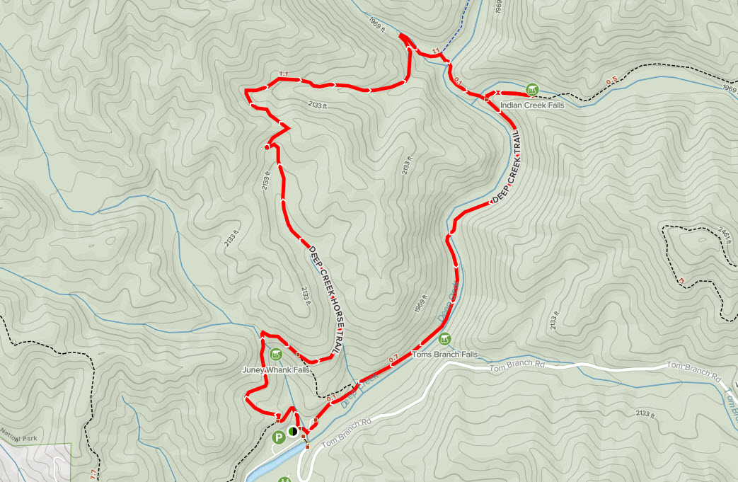
Cataract Falls
#4 – Cataract Falls (Length: 1.0 mile roundtrip) The trailhead is located at Cove Mountain Trail, Gatlinburg, TN 37738. This is a paved/gravel trail that is quick and easy. Several bridges along the way cross Fighting Creek and have sturdy handrails for little ones. Along the way, there is a hollowed out tree that children love to climb in, and it makes the perfect photo op for parents. There is a staircase leading to the falls, which are made up of 2 streams that merge into one 25 foot waterfall. Do not climb on the rocks at the bottom of the falls, as they are always slick. Pets and bicycles are prohibited on the trail.

Grotto Falls
#6 – Grotto Falls (Length: 2.8 miles round trip) The trailhead is located at LAT 35.68037 and LONG -83.46243. The hike to Grotto Falls begins from the Trillium Gap Trailhead through an old-growth forest containing many eastern hemlocks. The first section of the trail is an access trail that links up with the Trillium Gap Trail. During the spring there are a smorgasbord of wildflowers along the way, such as white and yellow trillium, white violets, stitchwort, squawcorn and Dutchman’s breeches. The trail is wide and well-traveled. As you continue toward the falls, you will cross over four small streams without a footbridge. Grotto Falls is the only waterfall in the Great Smoky Mountains National Park that you can actually walk behind. The waterfall is 25 feet high. Watch your step as this area is always wet and slick. Pets and bicycles are prohibited on the trail.
Baskins Creek Falls
#7 – Baskins Creek Falls (Length: 3.0 miles round trip) The trailhead is located at LAT 35.67767 and LONG -83.47858. The hike begins with a nice and easy climb. After about 1/4 of a mile, the trail levels out and opens up views of the mountains to the west and several views of Gatlinburg. During the summer, these views will likely be obstructed due to the foliage. About 1 mile in, hikers will cross Falls Branch without the benefit of a footbridge. If hiking after a hard rain, this could be more challenging. The trail then follows the creek down the mountain at a fairly quick descent. At 1.1 miles, a side trail will spur off to the left. Be sure and stay to the right to continue to the falls. Hikers will cross another small creek, but this crossing is a much easier crossing. At the next junction, hikers should turn left to continue on toward the falls. The last 50 yards to Baskins Creek Falls is steep and rugged but worth it in the end. Baskins Creek Falls is a 40 foot two-tiered waterfall. Bring a picnic and enjoy the view. Pets and bicycles are prohibited on the trail.
Spruce Flats Falls
#8 – Spruce Flats Falls (Length: 1.4 miles round trip) The trailhead is located at LAT 35.64143 LONG -83.68956. The trail begins at the Lumber Ridge Trailhead. Approximately 20 yards from the trailhead, hikers will reach the Buckeye Trail junction. Turn right onto the Buckeye Trail. Neither the spur trail nor the waterfall appear on an official park map, but the trail is well marked and easy to follow. Turn left at the next junction in the trail. Continue past an old cistern. There is a nice viewing area above the cistern that offers views of Bote Mountain and Thunderhead Mountain toward the southwest. Once hikers reach the falls, they will find that it cascades down the hill in four tiers, with a total drop of approximately 30 feet. Pets and bicycles are prohibited on the trail.
Chasteen Creek Cascade
#9 – Chasteen Creek Cascade (Length: 3.6 miles round trip) The trailhead is located at LAT 35.56307 and LONG -83.31062. The hike to Chasteen Creek Cascade begins on the North Carolina side of the Smokies. The hike begins by following the Bradley Fork Trail. It also follows the Benton MacKaye Trail, a footpath that stretches almost 300 miles through the Southern Appalachian Mountains, including 96 miles through the Great Smoky Mountains. A tenth of a mile in, hikers will pass a campground trail. Further up the trail the Tow String Horse Trail forks in. From this point on, hikers will be sharing the trail with horses. The Bradley Fork Trail is an old road bed that parallels the Bradley Fork of the Oconaluftee River. The trail is very scenic with rhododendron, grasses and moss. After a mile, the trail crosses Chasteen Creek and then hikers will reach the Chasteen Creek Trail. Hikers should turn right at this junction. At 1.7 miles, hikers will come to a split in the trail. Take the trail to the left past the horse hitching post. Past that hikers will notice a faint trail continuing upstream alongside the creek. After a short distance, the cascade will come into view. Chasteen Creek Cascade is approximately 30 feet in height with a few smaller falls a little further downstream and is best viewed after a heavy rain. Pets and bicycles are prohibited on the trail.

Sutton Ridge Overlook
#10 – Sutton Ridge Overlook (Length: 3.0 miles) The trailhead is located at LAT 35.75622 and LONG .83.20661. Located near Cosby, TN, this trail features beautiful wildflowers and is used for hiking, running, camping and bird watching. The view at the top is a gorgeous mountain view, although not a panoramic view. There are a few creek crossings and bridges. Be sure to hold the hands of children when crossing the creeks and bridges. Pets and bicycles are prohibited on the trail.