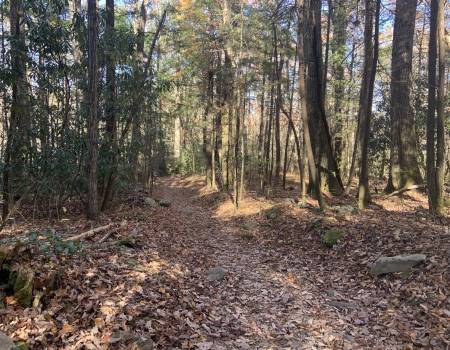
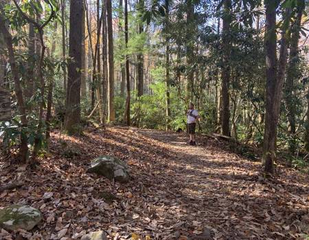
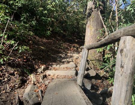
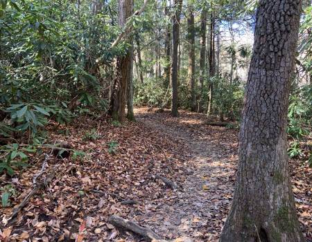
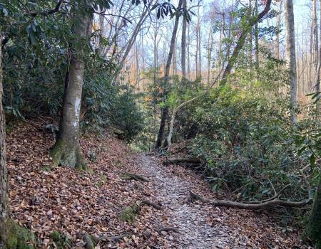
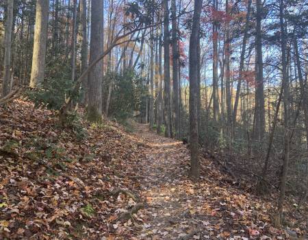
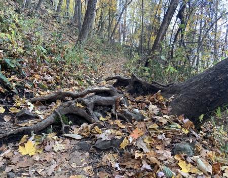
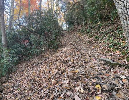
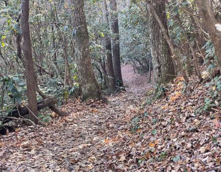
We rated this hike moderate with strenuous sections. It is a pleasant walk for the first .8 miles but a steady climb for the next mile. It does level off again, with the last .1 mile to the falls downhill, uphill of course on your way back. There are roots along the trail so please watch your footing.
Hen Wallow Falls
Directions to Trailhead:
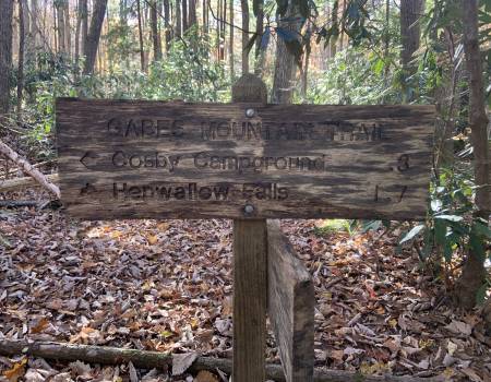
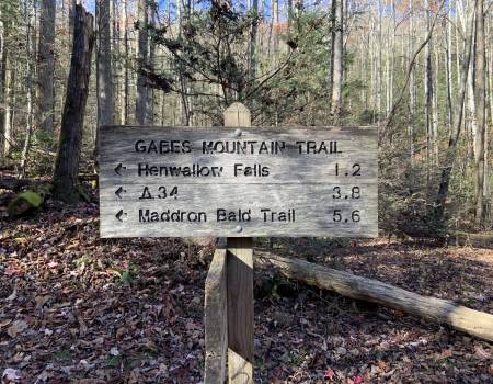
The hike to Hen Wallow Falls in the Great Smoky Mountains begins from the Gabes Mountain Trailhead in Cosby. To reach the trailhead from the junction of 441 and 321 in Gatlinburg (Light 3), turn to travel eastbound on 321/73, and drive 18.2 miles until the road dead-ends into Hwy 32. Turn right here towards Cosby, and drive 1.2 miles to the park entrance. Turn right into the park and drive another 2 miles to the Gabes Mountain Trailhead. The trailhead is on the right side of the road, but the large parking area, located in the Cosby Picnic Area, is across the street. Hen Wallow Falls is located off the Gabes Mountain Trail.
Trail Description:
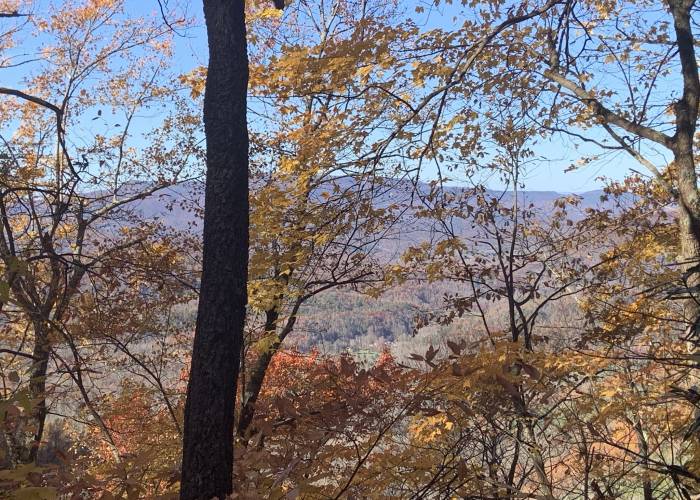
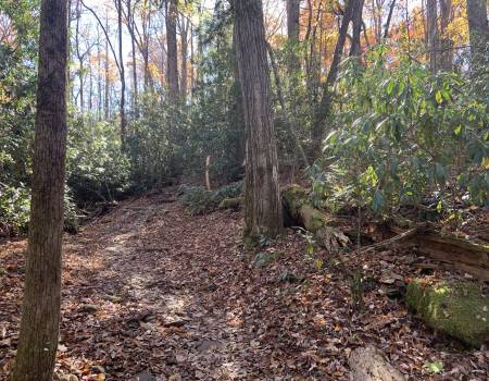
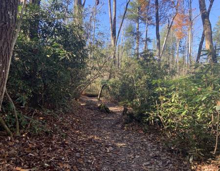
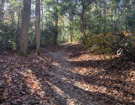
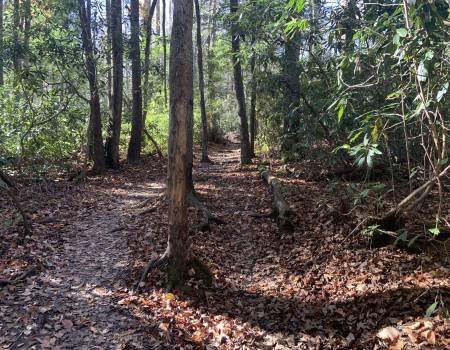
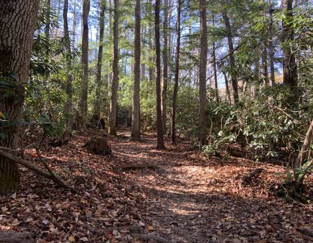
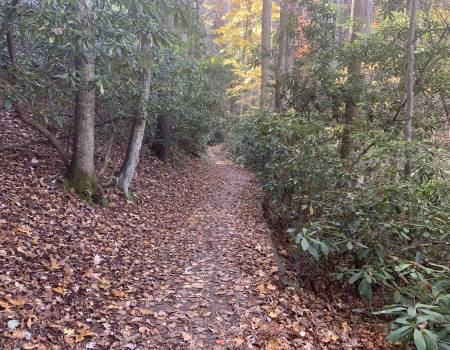
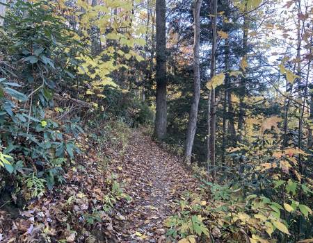
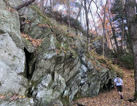
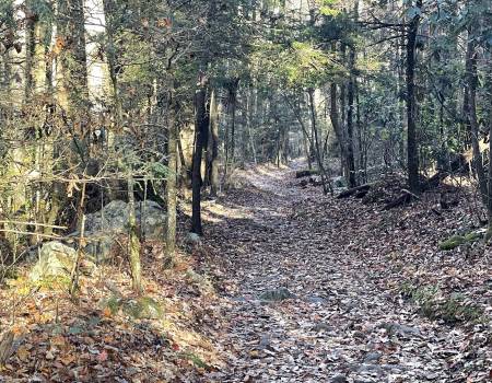
Almost from the start the trail begins to make a steady climb up the northern flank of Snake Den Mountain. While ascending the Gabes Mountain Trail, which was once known as the Messer Trail, the roots and rocks will testify just how rough this route can be in some places. Although rugged, the trail passes through a beautiful lush-green forest of rhododendron and ferns, with eastern hemlocks and yellow poplars providing a nice overhead canopy.
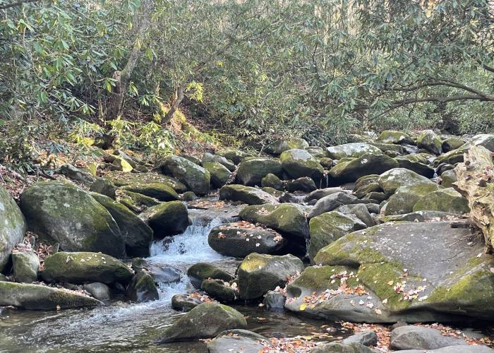
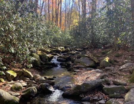
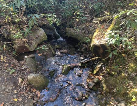
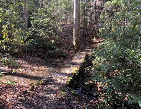
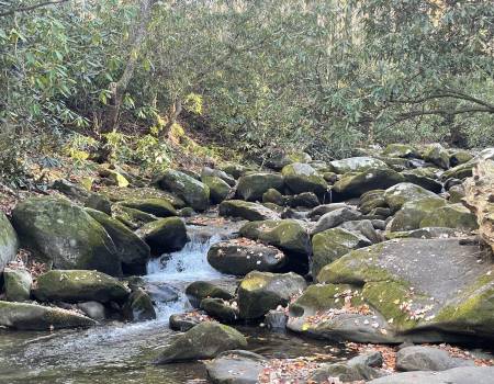
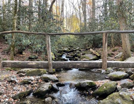
After walking a short distance Rock Creek will appear on your right. Soon after you'll pass the side trail that leads to the Cosby Campground, almost four-tenths of a mile from the trailhead. Shortly thereafter the trail crosses over Rock Creek.
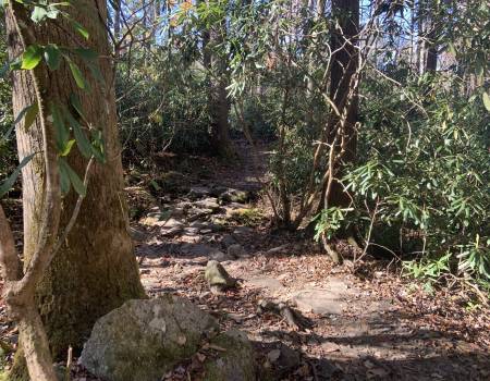
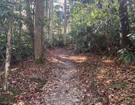
At roughly seven-tenths of a mile you'll pass a social trail that leads off to your right. Continue going straight here.
Roughly 1 mile from the trailhead hikers will reach Messer Gap. There's another faint side trail on your right here, that supposedly leads to an old grave site. To continue on towards the falls, hikers should proceed straight ahead. Just past this junction look towards your left and you'll see the remnants of an old rock wall from an old homestead.
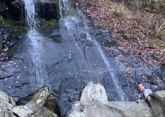
At 2.1 miles hikers will reach the short (and somewhat steep) side trail that leads down to the base of the 90-foot Hen Wallow Falls. Although Hen Wallow Creek is only two feet wide at the top of the falls, it fans out to almost 20 feet at the base. We were fortunate to have visited the falls after quite a bit of rain. During the drier seasons water flowing over the rock cliff can be fairly low.
If you're looking to go home with some great photographs of the falls you might be better off avoiding this hike during mid-day, as the sun will be directly in your eyes, as well as your viewfinder.
Be sure to check out the small cave in the ridge just off to the right side of the falls.
A Glimpse of the Hen Wallow Falls